


NEW DELHI, November 2, 2026 — The India Meteorological Department (IMD) has warned that Severe Cyclonic Storm Murasu could bring a storm surge of about 1.5–2.0 metres above the astronomical tide to low-lying parts of south coastal Andhra Pradesh when it crosses the coast. In a press release issued at 1:00 pm IST, the weather agency identified Bapatla, Krishna and Prakasam districts as areas where the maximum peak surge is expected.
The same IMD release contains a second surge estimate. A later paragraph says the surge is likely to exceed 0.5 metres from the evening of November 2 until the morning of November 3, with a peak of 1.0–1.5 metres above the astronomical tide during the night and early hours. The document does not explain how the two ranges relate. Both figures are therefore reported as stated by the agency; neither should be treated as a measured water level or a precise depth for every coastal settlement.
The revised warning is a material update to the earlier forecast. The IMD’s 2:00 am bulletin had described a surge of about 1.0–1.5 metres. The latest release adds a higher 1.5–2.0-metre figure for low-lying areas at landfall, while also retaining the separate lower peak estimate in its detailed warning.
Also read: Cyclone Murasu: IMD’s 2 am Bulletin Widens Surge Forecast to 1.5 Metres
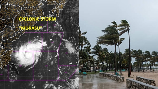
The IMD expects Murasu to move northwestwards and cross the south Andhra Pradesh coast between Nellore and Narsapur, south of Ongole, from about 11:30 pm IST on November 2 to 4:00 am on November 3. The forecast calls for sustained winds of 100–110 km/h, with gusts reaching 120 km/h near the time of crossing.
In National Bulletin No. 13, issued at 11:45 am IST, the IMD said the severe cyclonic storm was centred at 8:30 am near latitude 14.1°N and longitude 81.4°E. At that time, its centre was about 160 km east-southeast of Nellore, 180 km northeast of Chennai and 210 km southeast of Ongole. The system had moved west-northwestwards at about 22 km/h during the preceding six hours. These are position details for 8:30 am, not a live location reading.
The forecast crossing window remains several hours after the latest position included in the bulletin. The cyclone had not made landfall at the time of that forecast. Its track and local effects may change, so residents should use subsequent IMD bulletins and district-level instructions rather than relying on a single position estimate.
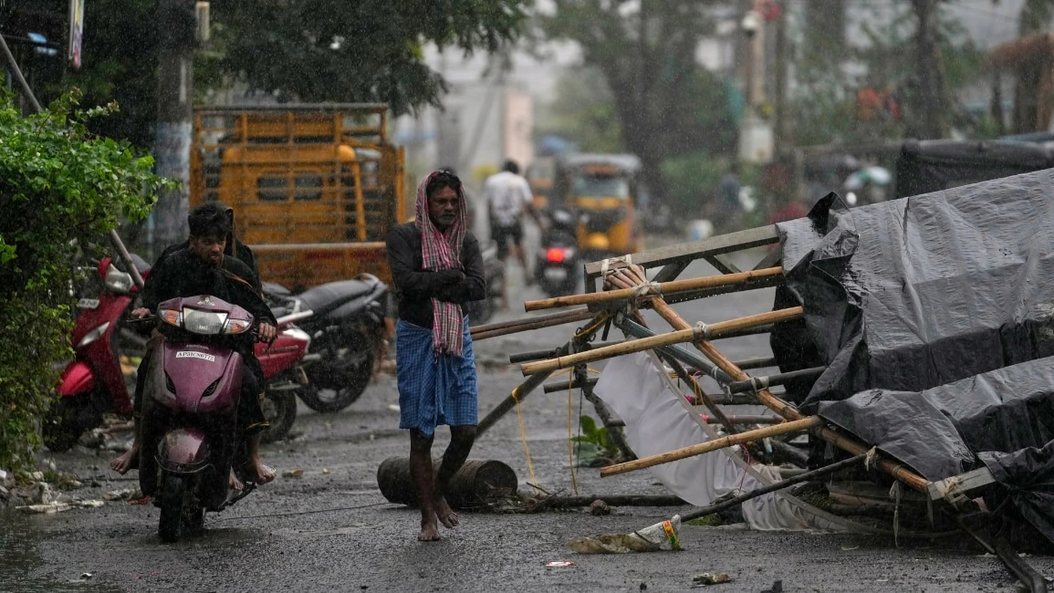
The IMD forecasts heavy to very heavy rainfall over coastal Andhra Pradesh, Rayalaseema and Telangana on November 2 and 3. Isolated extremely heavy rainfall is likely over coastal Andhra Pradesh and Yanam, and over Rayalaseema, on both days; Telangana could receive isolated extremely heavy rainfall on November 3. Tamil Nadu is also forecast to receive heavy to very heavy rain at isolated places on November 2.
The national bulletin describes sea conditions along the Andhra Pradesh coast as high to very high. Its impact section warns of very high seas and waves of about 9–14 metres, with visibility severely affected. The agency says movement in boats and small ships is unsafe and calls for fishing operations to be suspended in the warned areas.
The IMD’s action guidance says residents of coastal huts should be moved to safer places, people in affected areas should remain indoors, and vulnerable structures should be avoided. It also warns of possible coastal and urban flooding, waterlogging, damage to roads, and disruption to railways, overhead power lines and signalling systems. These are forecast risks, not confirmation that all such damage has occurred.
Also read: Cyclone Murasu: What Coastal Families Should Pack and How to Follow Evacuation Orders
Residents in low-lying coastal settlements should follow evacuation directions issued by their district administration and use designated shelters where instructed. Fishermen should observe the suspension advice and avoid the warned waters. People should stay away from beaches, flooded roads, damaged buildings and fallen power lines. Local authorities’ instructions take priority over general online summaries.
Transport disruption has also been reported as rain and wind affect southern airports. Passengers travelling to or from Chennai and Vijayawada should check directly with their airlines before leaving for the airport, because schedules can change as conditions develop.
Also read: Cyclone Murasu Disrupts Flights at Chennai and Vijayawada Airports
The surge figures in the 1:00 pm release require careful reading because the document gives both a 1.5–2.0-metre estimate at landfall and a separate 1.0–1.5-metre peak estimate for the overnight period. The IMD does not explain the difference in the text. The safest interpretation is to treat the entire south coastal warning area as exposed to a serious coastal-flooding risk and follow updated district advisories, rather than use either figure as a site-specific prediction.



Comments (0)
Be the first to comment. Comments are published after moderation.